Satellite AI Navigation
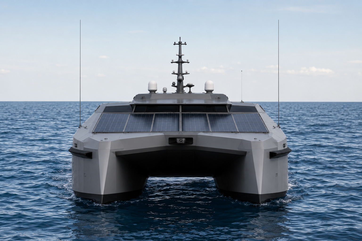
An advanced sensor and AI suite that lets the ECOMAR USV operate autonomously across hundreds of kilometers of open ocean.
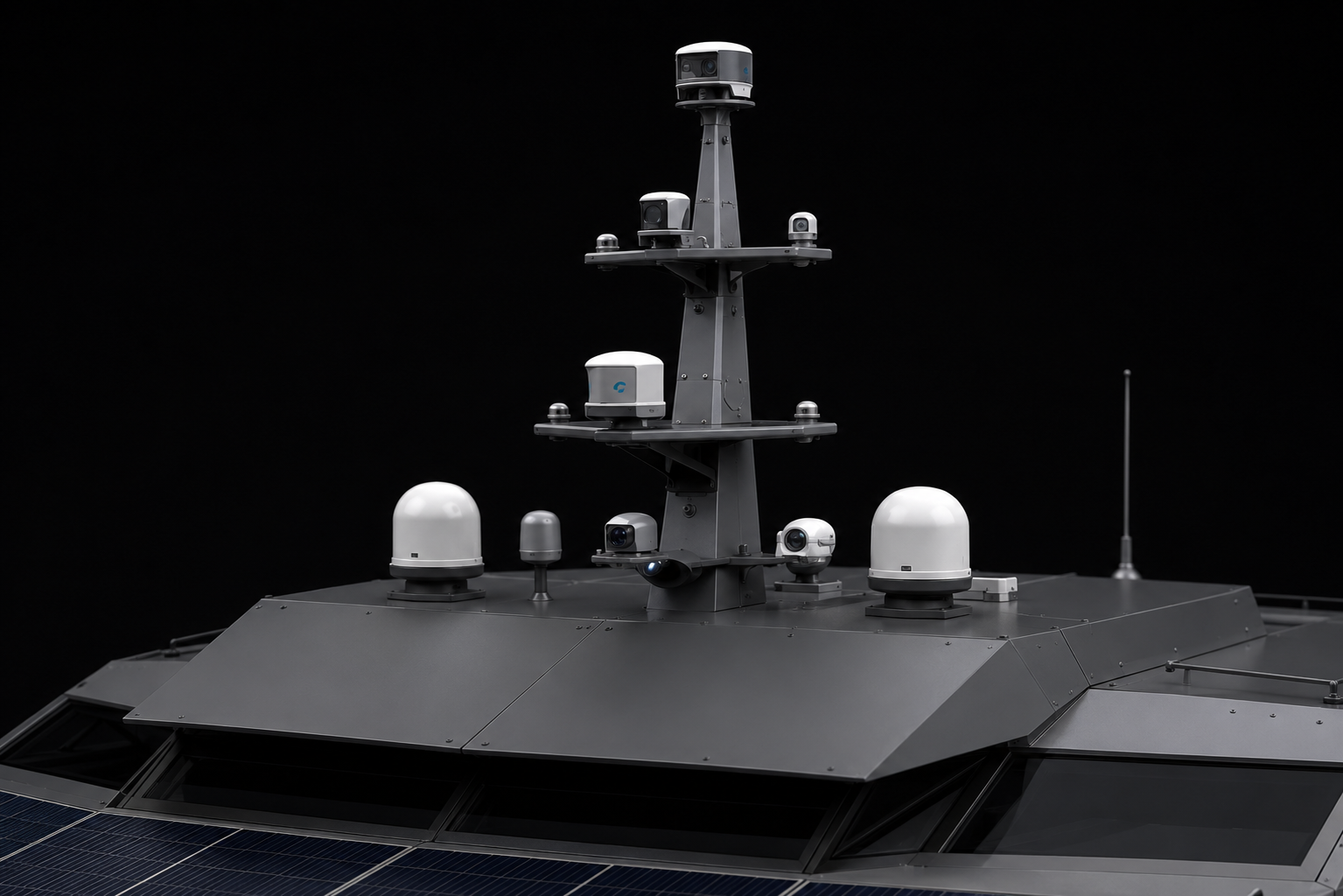
Real-time situational awareness through Starlink Maritime and a multi-sensor array — anywhere in Madeira's offshore zones.
Autonomy that Doesn't Compromise on Safety
Autonomous navigation in the Madeira archipelago is not a trivial problem. Steep volcanic underwater slopes, unpredictable currents, commercial shipping lanes and dense marine life all create a complex operational environment. ECOMAR addresses this with a multi-layered stack: scientific-grade ocean sensors, redundant positioning systems, AI-powered route optimization, and a permanent Starlink Maritime uplink that keeps the shore station in the loop at every moment.
Navigation Subsystems
AI Navigation Engine
Onboard AI for route planning and dynamic decision-making.
- Computer vision for surface obstacle detection
- Reinforcement-learning optimized route planning
- Adaptive control based on weather and sea state
- Edge processing — operates without continuous connectivity
Mission Control Capabilities
Curious about the AI and sensor stack?
Schedule a technical conversation with our autonomy team.
Explore Other Technologies
Discover the rest of the ECOMAR platform